Mining intelligence
Strayos
Turn complex terrain and blast data into an interactive decision surface.
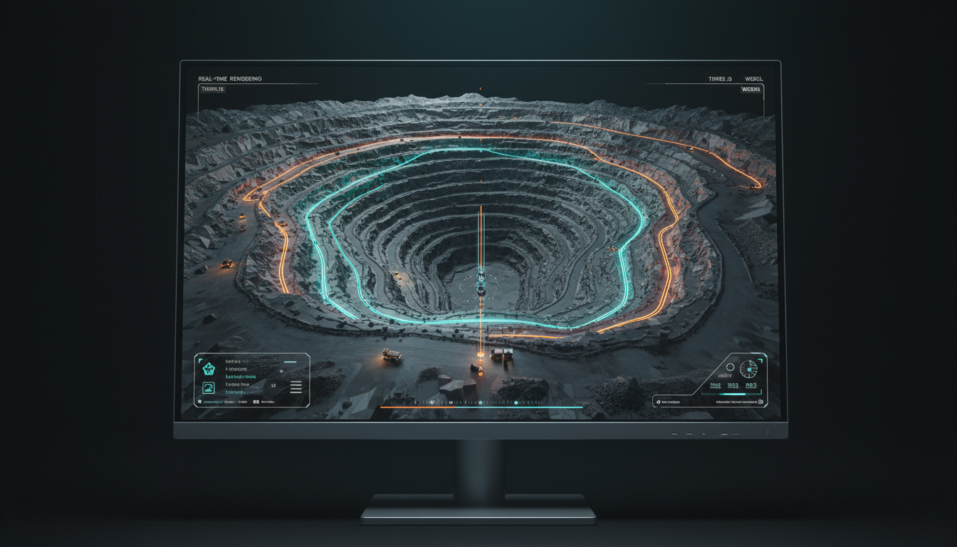
The work
Three.js and WebGL development for large 3D terrain datasets, custom mesh rendering, material editing, UI synchronization, and cinematic fly-throughs. Built an interactive 3D drill planning editor with real-time geospatial overlays - improving speed, accuracy, and spatial decision-making for mine design teams.
The result
High-performance digital twin visualization